Underwater infrastructure can be reliably monitored over time by creating georeferenced digital models that can be repeated and directly compared.
Each survey of the infrastructure is transformed into a precise 3D dataset representing the actual condition of the structure at a specific moment. When the same object is recorded again using the same methodology and coordinate system, the models can be directly compared to identify changes.
This approach enables the detection of:
In this way, underwater infrastructure gains a digital record of its conditions over time, enabling maintenance planning and data-driven decision-making.
A digital twin of underwater infrastructure is a georeferenced and time-consistent digital system that represents the real condition of a structure and is continuously updated with data from the real environment.
Such a system enables precise measurement, monitoring of changes over time, integration of operational data, as well as analysis in real conditions - all to make reliable decisions.
This type of model enables:
A digital twin thus becomes an operational tool for infrastructure management, rather than just a visual representation of a structure.
The accuracy of underwater 3D models depends on the methodology of data collection and processing. When surveys are properly conducted, it is possible to achieve geometric accuracy of approximately 2 centimeters at 500 meters.
This level of accuracy enables:
For infrastructure analyses, not only is high precision essential, but also the geometric stability of the model, which enables reliable detection of changes across large areas of the structure.
Since our methodology is based on large-scale underwater photogrammetry, controlling reconstruction accuracy is critical. During the reconstruction of large infrastructure objects, model deformations can sometimes occur that are not present in the real structure.
A common example is the so-called “banana effect,” where the model slightly bends even though the actual structure is straight.
These distortions most often arise due to:
When such errors occur, it becomes difficult to distinguish real structural changes from model inaccuracies. This is why controlling model geometry is one of the key elements of reliable infrastructure analysis.
Georeferencing means that a digital model has an accurate position in real space. Each point in the model is defined by spatial coordinates (X, Y, Z), allowing it to be linked to the actual location of the infrastructure.
This enables:
Without georeferencing, the model remains only a 3D scene without real spatial reference, significantly limiting its analytical value.
Changes in underwater infrastructure can be detected by comparing digital models captured at different points in time. When two models of the same structure are geometrically aligned within the same coordinate system, it becomes possible to analyze the differences between them.
Such analysis can reveal:
This approach enables earlier detection of issues, reducing the risk of more serious infrastructure damage.
Underwater mapping using photogrammetry is possible in conditions of low to medium water turbidity. In practice, this means conditions of up to approximately 50 NTU (Nephelometric Turbidity Units).
Such conditions cover around 40% of the world’s seas, particularly:
Under these conditions, it is possible to create precise and stable infrastructure models that enable reliable analysis over time.
The frequency of inspections depends on the type of structure, operational conditions, and the level of infrastructure load. For critical infrastructure such as breakwaters or quay walls, periodic documentation over multi-year intervals is recommended.
By regularly repeating surveys, it is possible to create a continuous record of changes over time, enabling:
Visual inspection is based on observing the structure and documenting its condition descriptively. This approach can identify obvious damage but often does not allow for precise measurements or comparison over time.
Digital infrastructure monitoring is based on measurable 3D datasets that can be repeated and compared.
This enables:
In other words, the digital approach transforms inspection from a descriptive review into an analytical system for infrastructure management.
Digital infrastructure models can be integrated into various digital asset management systems.
This includes:
Georeferenced datasets enable the integration of data from multiple sources, such as:
Such integration allows organizations to monitor infrastructure through a unified digital system that supports long-term management and maintenance planning.
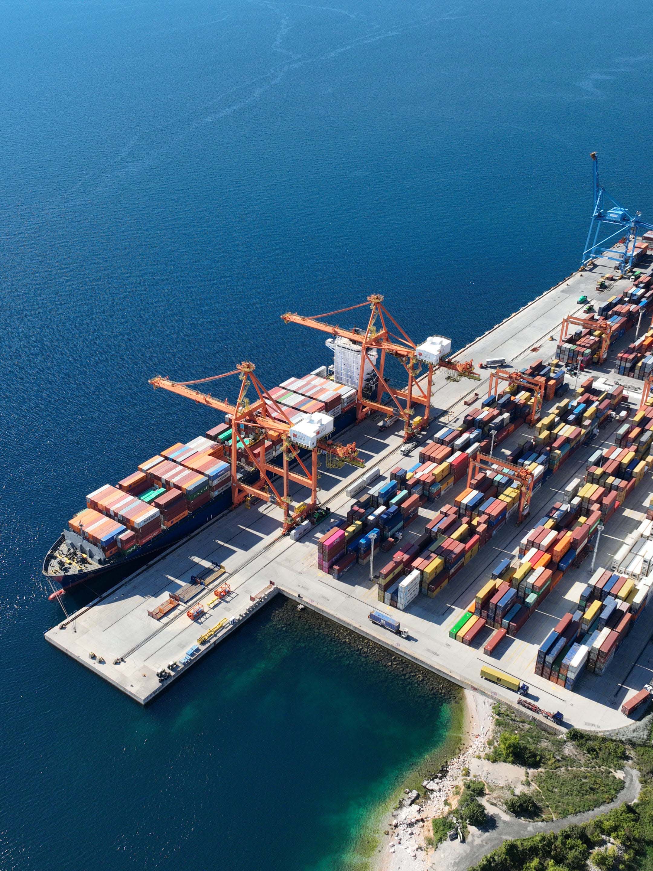
The productivity of documentation depends on the structure’s geometry, depth, and visibility conditions. Under typical operational conditions, a single technician can collect data for approximately 6,000 m² of infrastructure surface per day.
This level of productivity allows large infrastructure systems - such as breakwaters or quay walls - to be documented within a relatively short time, while maintaining a high level of geometric accuracy.
The applicability of the methodology depends on the type of structure and operational conditions. In typical infrastructure projects, it is possible to document:
These depths cover a significant portion of the infrastructure in coastal areas and ports.
Environmental conditions directly impact the quality of collected data and the reliability of the digital model. Key factors include visibility, lighting conditions, sea state, and access to the structure.
These conditions affect:
To ensure reliable results, the data collection process is adapted to real field conditions, with careful control of key recording parameters.
Under suitable conditions, it is possible to establish a stable and measurable digital record that facilitates long-term infrastructure analysis.
The reliability of a model depends on three key factors:
With a properly executed methodology, it is possible to achieve an accuracy of approximately 2 cm at distances of up to 500 m, enabling reliable analysis of deformations and structural changes. However, high accuracy alone is not sufficient without geometric stability and repeatability. A reliable model is the result of a controlled process - not a single technology or tool.
Many 3D models are created primarily for visualization rather than infrastructure analysis.
Such models often have limitations such as:
If data is not collected with consistent overlap and controlled capture distance, geometric accuracy is compromised, making reliable measurement impossible. Without stable geometry and accurate coordinates, models cannot support precise measurements or comparisons over time. A visually appealing model does not necessarily mean it is geometrically accurate.
Digital models enable precise analysis of structural changes over time.
By comparing models from different periods, it is possible to identify:
These insights allow maintenance to be planned based on actual changes in infrastructure, rather than relying solely on periodic inspections.
The greatest value of a digital model is not just its current representation, but its ability to be compared over time.
Only when two surveys of the same structure can be reliably aligned within the same coordinate system is it possible to analyze:
This is why data collection and processing methodology is critical for long-term infrastructure analysis. Without comparability over time, it is not possible to distinguish real changes from model inconsistencies.
