Application

Reliable representation, secure future
Digital Twins

Digital twins provide not only insight into the condition of infrastructure but also enable the integration of all relevant data into a unified digital environment.

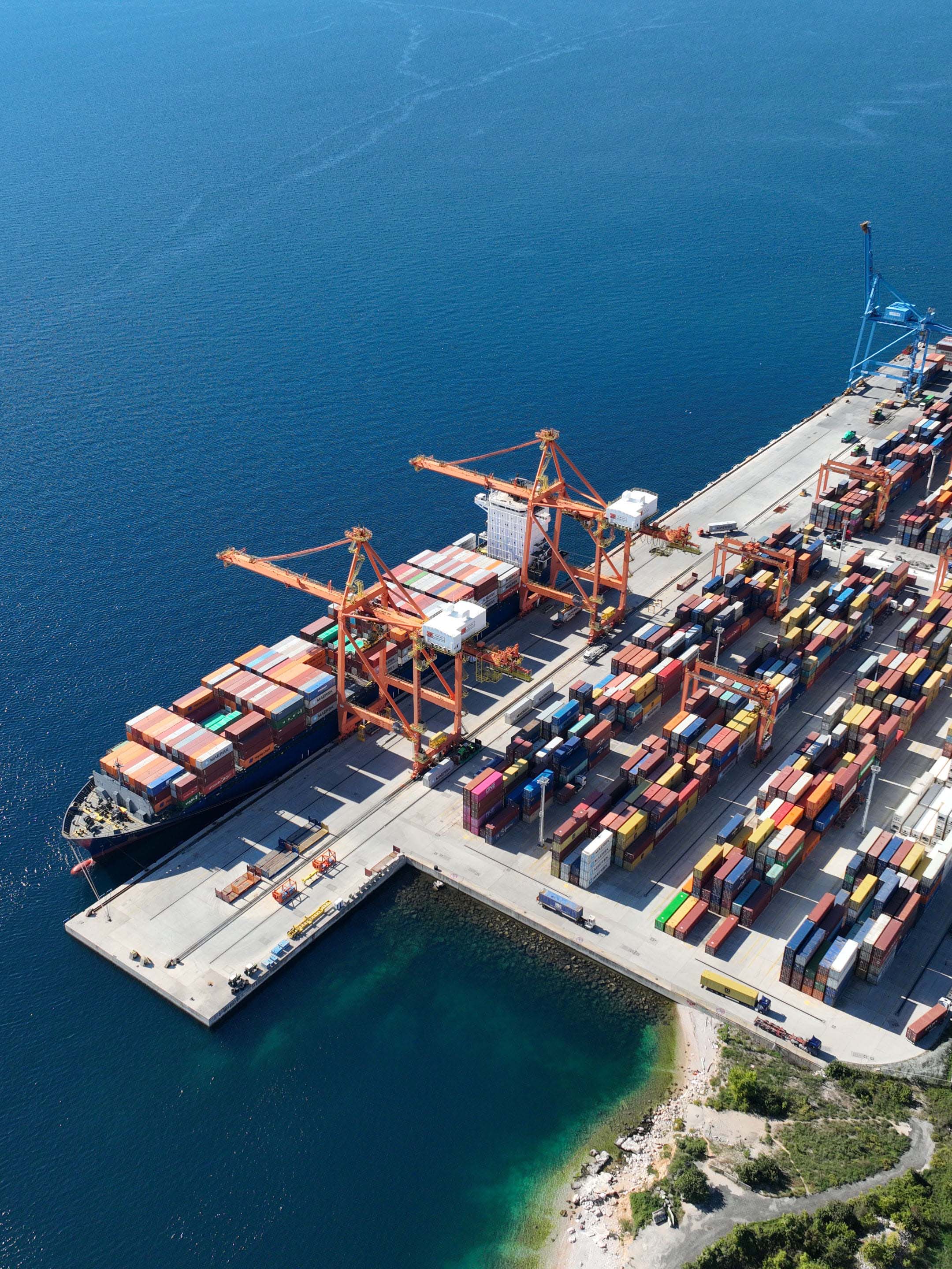
Port authorities, harbors, and container terminal operators - as well as companies maintaining underwater infrastructure - always have full control over their underwater assets. Such a system enables monitoring of large areas, integration of multiple data sources, and simulation of operations in real conditions - including vessel movement, weather conditions, and other operational parameters.
Application
Underwater mapping using photogrammetry is possible in conditions of low to medium water turbidity. In practice, this means conditions of up to approximately 50 NTU (Nephelometric Turbidity Units).

Such conditions cover around 40% of the world’s seas, particularly shallow coastal areas and ports.

Under these conditions, it is possible to create precise and stable infrastructure models that enable reliable analysis over time.
Key metrics
Continue reading

Licensing